
Start a Carson Block Lookup
A block lookup needs a boundary before it needs names. Define whether the research means parcels touching the target, parcels across the street, the full street face, or a wider civic area. Then use the source that answers each part of the question. The table keeps the Carson block workflow anchored to official channels and to the access limit each one carries.
| Source | What it shows about a block | Access |
|---|---|---|
| Carson GIS parcel layer | Target parcel, adjoining polygons, site and mailing fields, city layers | Free map, feature service, and spatial query |
| Los Angeles County Assessor | APN, situs, parcel traits, values, mailing or owner lead | Free address, APN, and map search |
| RR/CC recorded documents | Ownership instruments and earlier parties | Name/year index, then paid copy request |
| Voter file products | Authorized registration or street-file data | Purpose declaration, fee, and legal restrictions |
| Carson associations | Community contact path and group names | City directory or staff referral, not a member roster |
| Reverse directories | Listed occupants or businesses in an earlier block | LAPL, library, or archive collection |
Owners, listed occupants, registered voters, and association contacts are not interchangeable categories. A Carson block result is stronger when it says which category was found and which categories were not searched.
Carson Neighbors and Parcels Around the Block
The Carson GIS feature service supports the adjacent-parcel method. Use the Address Points layer to locate the target, select its parcel, and keep the map at a parcel scale. Then click each touching polygon, the parcel across the street, and the parcels along the street face defined at the start.
Record APN, situs, site ZIP, legal description, tract, zoning, parcel area, and any visible owner or mailing fields. Carson's service can expose owner-name fields and supports standardized attribute or spatial queries, pagination, and up to 2,000 features per response. The county Assessor web result may suppress broad owner-name searching, so the city-county display difference should be written into the research note.
Use this process flow:
- known address → Carson address point;
- address point → target parcel and APN;
- target parcel → adjacent polygons and civic layers;
- APN and owner lead → assessor detail or RR/CC party/year search;
- source date and document number → a verifiable block note.
One polygon can cover a condominium, mobile estate, institution, or other complex. Do not translate a polygon count into a count of people around a Carson address.
Define Carson Neighbors by Block
“Neighbor” is a useful everyday word but a loose research boundary. For parcel work, write whether adjacency means a shared line, a corner, across the street, or within a chosen map buffer. Carson GIS includes city boundary, streets, schools, zoning, ZIP maps, and other layers that can change the view without changing the parcel.
A physical block and a neighborhood association area may not match. A large industrial or institutional parcel can touch several residential streets. A shared driveway or condominium map can make the legal parcel pattern differ from the visible address pattern. Keep the chosen geometry with the result.
- Adjacent parcel
- A mapped parcel sharing a boundary or the defined near-block relationship.
- Situs address
- The physical location tied to the parcel, not necessarily the mailing address.
- Owner mailing address
- The address used for notices, which can be outside Carson.
- Parcel buffer
- A map area drawn around the target for a repeatable nearby search.
These terms prevent the Carson block research from implying that every person associated with a parcel lives inside the map boundary.
Carson Owners Are Not Every Neighbor
The assessor roll and a recorded deed can support an ownership or legal-interest statement. They do not name every household member, non-owner occupant, guest, minor, or protected person. A mailing address may belong to a trust, company, service agent, or old extract. A homeowner exemption can support principal-residence analysis, but timing and roll lag keep it from proving who is home today.
The RR/CC chain is also narrower than a block directory. A deed names parties to an instrument and describes land. It does not certify who occupies it. For the full named-street chain, use the Carson street directory address workflow, then return to the target block for the adjacent-parcel question.
Voter information has a different limit. A status tool authenticates the individual using the person's own details. A county file can be purchased only through a permitted application and purpose declaration. Neither channel authorizes a public list of every Carson neighbor.
Carson Voter Street Files Have a Purpose
LA Check Registration Status asks for a last name, date of birth, house number, and ZIP Code. California My Voter Status authenticates a person with first and last name, date of birth, driver's license or ID, or a prompted alternative. The result concerns the user's status, party preference, districts, election location, and ballot status or participation. It is not an open Carson neighbor search.
LA County voter products offer registration, voting history, precinct or district, vote-by-mail, poll-board, and other selections. The voter and election file application requires applicant and beneficiary information, a permitted election, scholarly, journalistic, political, or governmental purpose, and signature or ID details. Research lists a $0.10-per-page street index charge plus a $1.60 handling fee for the general public, with other file prices and rules by product.
Elections Code section 2194 and Government Code section 7924.000 restrict home address, phone, email, selected precinct and identifier fields, prior registration information, and misuse. The county's street index must not be repackaged as a general resident directory.
The LA County voter information page shows why a Carson block lookup cannot treat a voter product as ordinary map data.
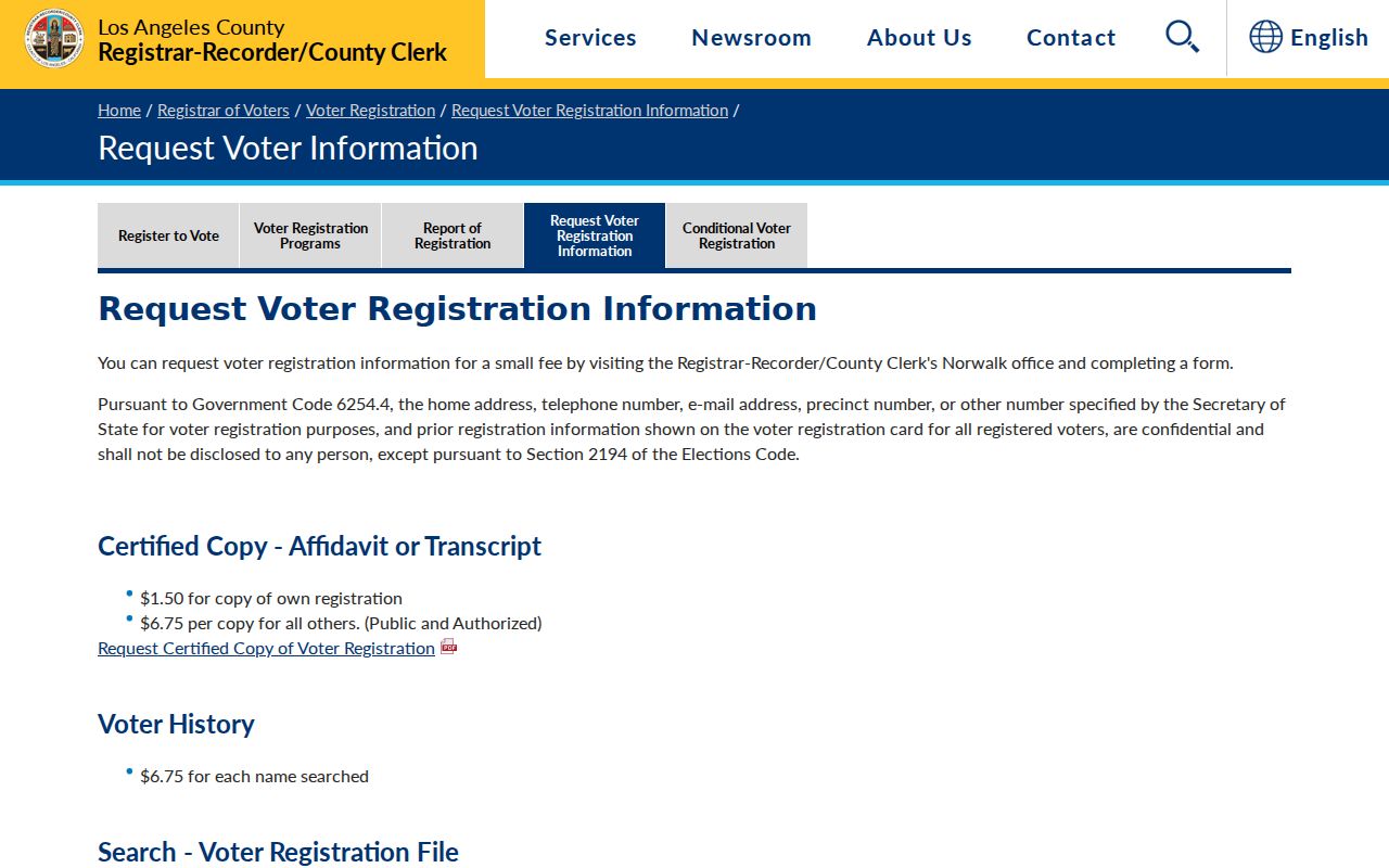
The request screen belongs to an authorized election-record workflow, not to a public block roster.
Carson Neighbors Find Contact Through Groups
Carson's Social Services and Information Directory lists homeowner associations and block clubs, but it does not establish a current public member roster. Examples named by the city include HARD, Imperial Carson, Nestor Avenue, Northwood Avenue, Park Avalon, Proud Heritage, Rancho Dominguez Mobile Estates, Scottsdale Townhouse, Stevenson Village, Sun Ray Manor, University Heights, Visalia Avenue, Carousel, Carriage Place, Colony Cove, Centerview/Glen Avalon, Cliveden Avenue, Colony Park, Coltman Avenue, Del Amo, Dominguez Area Property Owners, Enslow Drive, and Galaxy West-Carson Crest.
Use the Carson Social Services and Information Directory for group names and the city's current contact route. Ask for a general association or coordinator contact instead of requesting private member names or household addresses. The directory may age, and the city has not verified a public roster for every group.
| Community layer | What it can add |
|---|---|
| Homeowner association | Group identity, general contact route, and a way to share a message. |
| Block club | Local coordination without publishing a member list. |
| City directory | Names of organizations and public routing information, subject to currency. |
| CSUDH or archive collection | Historical community material, not a current neighbor roster. |
A community contact is a bridge to the block, not evidence that a particular person lives there.
Carson Neighbors Use Neighborhood Watch
Carson Neighborhood Watch is mediated rather than published as a roster. The Public Safety Specialist at 310-952-1786 can supply a Block Captain contact when a watch exists, or explain how a resident-led group is formed. The research says a new group typically starts with 15 to 20 households. City staff and Carson Sheriff personnel can provide guidance, signs, and crime-pattern alerts.
The Carson public safety page is the proper contact route. It is better for a neighbor to receive a message through a coordinator than to publish an inferred household list from parcels or commercial data.
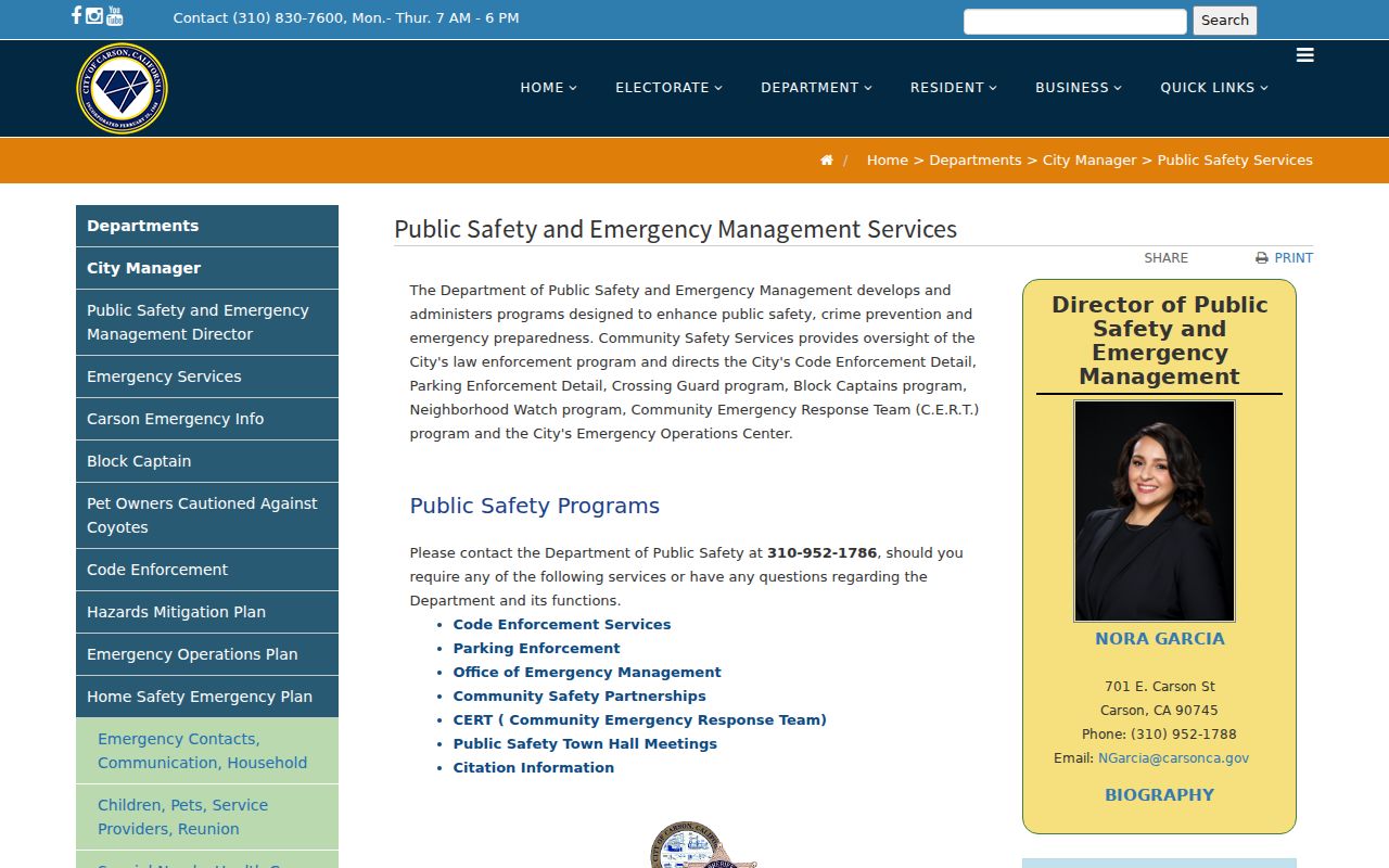
Public safety guidance adds a community response layer to the Carson block workflow without exposing a private roster.
Carson Older Blocks Need Reverse Directories
To understand who was listed around a Carson address before today's GIS, use LAPL reverse directories, the LA County Library Californiana collection, and released census material. Reverse volumes sort by street and house number. LAPL's broader digitized run covers 1875-1987, with reverse volumes in selected years from 1906 through 1987. South Suburban holdings cover 1972-1995, and South Central or South Coast titles offer 1990-1992 coverage.
A historical block result may show an occupant, business, telephone entry, or abbreviation rather than every neighbor. A missing line means unlisted in that volume. Street spellings, numbered avenue order, and the use of `h` or `r` vary by publisher. Search the title's own arrangement before deciding that a Carson address is absent.
Historical community work can also lead to CSUDH's Rancho San Pedro and South Bay collections, which preserve farm occupants, family papers, photographs, and organization material. A finding aid describes boxes and series. It does not promise a searchable current resident list.
Carson Official Rolls Versus Neighbor Compilations
Commercial neighbor tools may combine old public data, purchased files, and inferred relationships. Their output can be stale or merge people with similar names. Official records are narrower, but each comes with a keeper, date, and access rule. Compare the categories before relying on either path.
| Source type | Strength | Risk or limit |
|---|---|---|
| Carson GIS and Assessor | Parcel geometry, APN, situs, ownership lead | Not proof of occupancy or every person at a parcel |
| Recorded deed | Filed transfer, parties, legal description | County index is not online by address or ZIP |
| Voter product | Authorized election information | Purpose-restricted and protected fields |
| Community group | Human contact and local coordination | Not a public member roster |
| Commercial compilation | May suggest spelling or an old lead | Inferred, stale, merged, or unsupported relationships |
The safest Carson block method returns every material claim to the named custodian or to a community contact who chooses whether to respond.
Privacy Limits on Carson Neighbors
Safe at Home can provide a substitute address, mail forwarding, service-of-process agent, and confidential voter registration for eligible survivors. Utility and delivery data are not public neighborhood records. DMV data is restricted by the federal Driver's Privacy Protection Act. Protected residents, minors, and unlisted household members may never appear in the block picture.
Use Carson neighbor research for personal, lawful purposes such as understanding parcel boundaries, joining a community group, reconnecting with a known person, or noticing a safety concern. Preserve source dates and avoid publishing a person's private details. If a source stops, respect the limit and contact the custodian rather than trying to infer the hidden field.
Lawful use. A Carson block lookup is a partial civic and property view. Do not use it to stalk, harass, intimidate, or harm anyone.
The California My Voter Status tool shows the contrast: an individual may authenticate personal status, but that service does not authorize a public list of people around a Carson address.
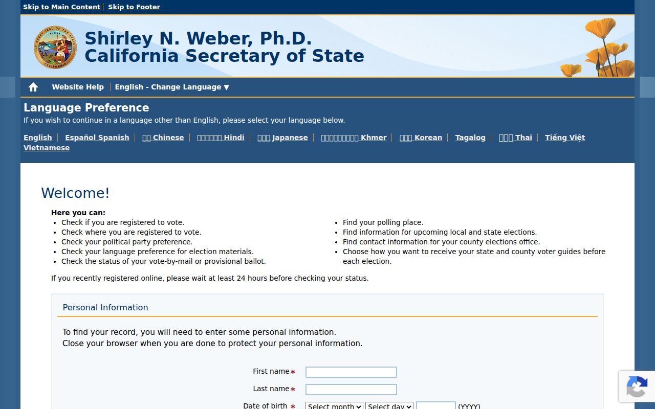
Personal authentication is the right boundary for voter status and a useful reminder that a public neighbor roster does not exist.